Archeological research and excavation- Valldaura
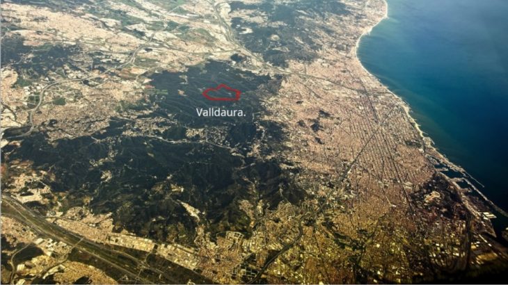
Location of Valldaura
Collserola natural park houses within its premises scattered ruins of structures built during different points of time in history, the oldest dating back to 1150.
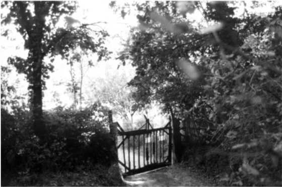
Photographs of the site- 1967
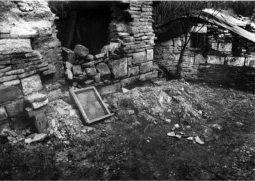
Photographs of the site- 1967
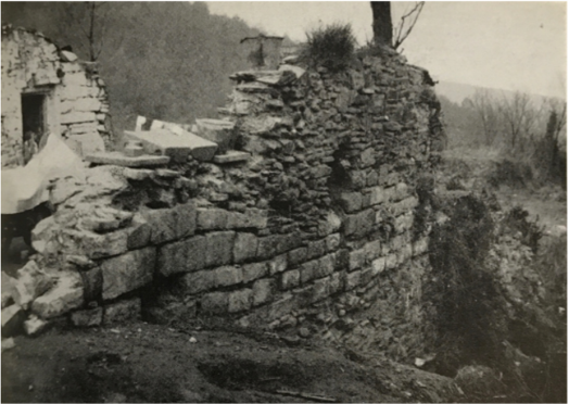
Photographs of the site- 1967
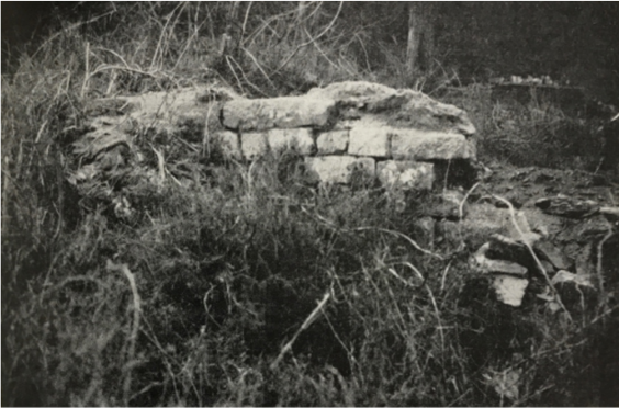
Photographs of the site- 1967
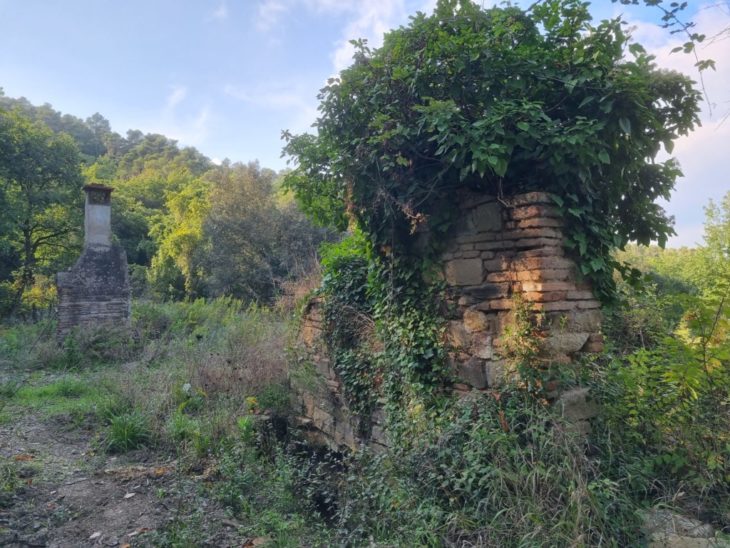
Site phtographs- october 2021
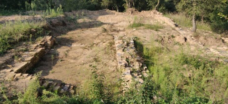
Site phtographs- october 2021
Over the years the ownership of this area was passed on to various communities, from monasteries to palaces to Estates of Noble men to industrialists and then finally to researchers.
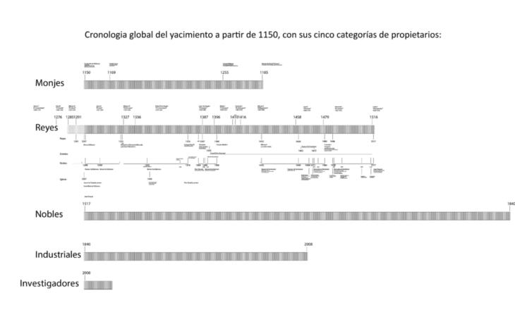
Timeline of settlers in Valldaura
Step 1- identification of structures
As a part of the independent research, the structures to be excavated were first identified and examined in order to document them using architectural tools and techniques.
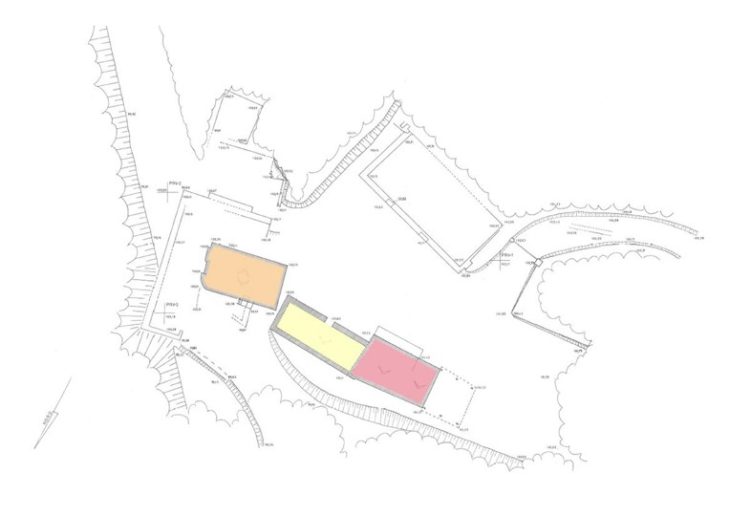
Plan of the identified structures
Step 2- Clearing vegetation
Next, the excavation site was cleaned and barred of overgrown vegetation to reveal the remains of structures that once served the various settlers.
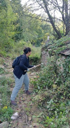
Cleaning process
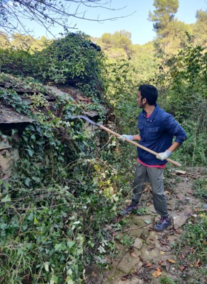
Cleaning process
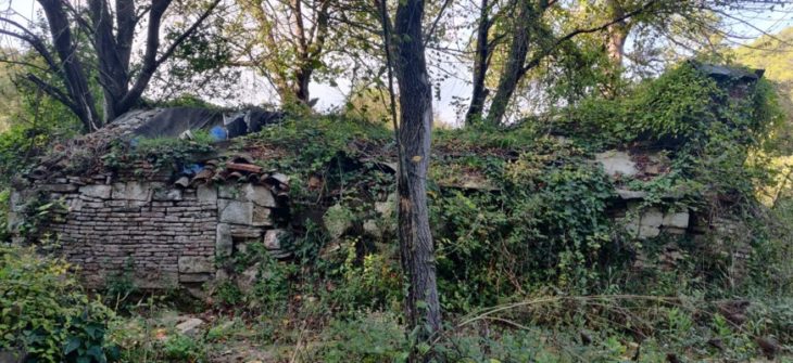
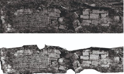
BEFORE- wall A
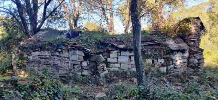
AFTER- wall A
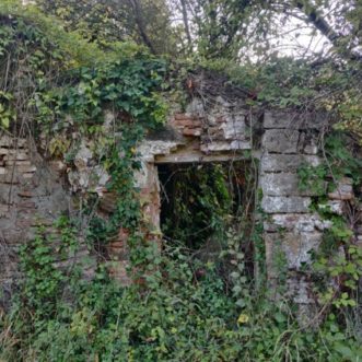
BEFORE- wall B
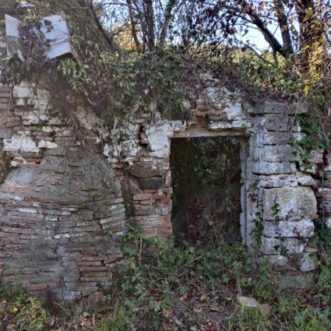
AFTER- wall B
Step 3- Documentation
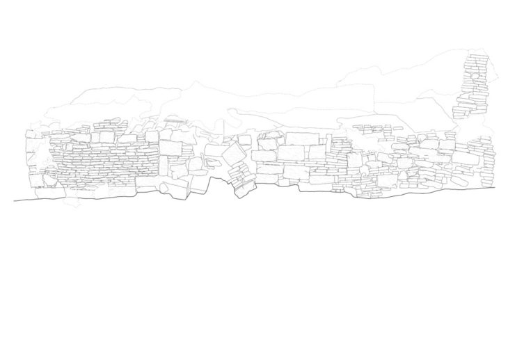
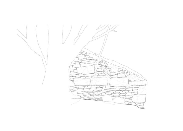
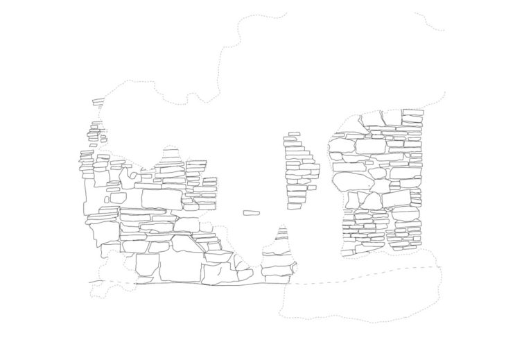
A rigorous process of documentation had to be adopted in order to record precise dimensions and preserve detailed drawings of the structures. Advanced architecture provided access to various software to aid the documentation. Documentation was carried in two steps:
First the recording of information available on site
- Photographs
- 3D scans
- Manual measurement grid
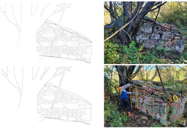
 unfolded elevation- structure C
Information collected on site was then put into digital tools.
After experimentation with different software and applications, the process of documentation was done by processing the images and measurements taken on site, through a three fold technique:
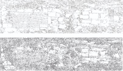
- Tracing upon elevation photographs in raster format
- Converting raster into vector curves in order to import it into Autocad
- Scaling and layering in Autocad
Step 5- Final drawings and 3D documentation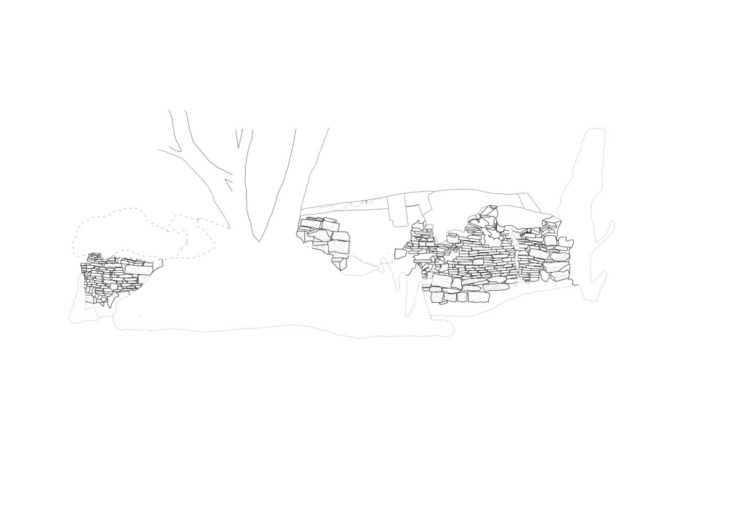
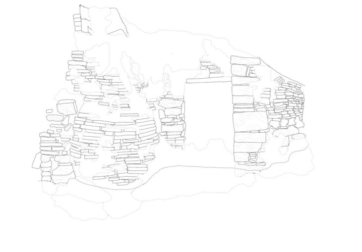

Students: Roshni Shah, Kshitij Sarote, Shagun Modi
Faculty: Kya Kerner
