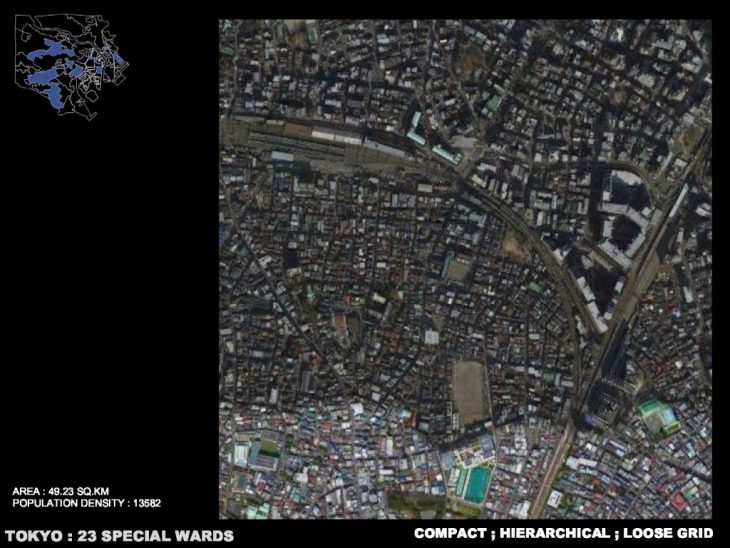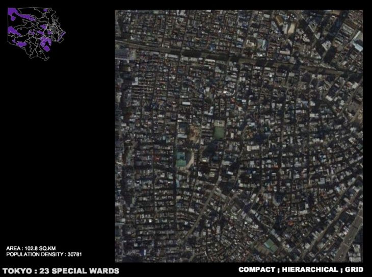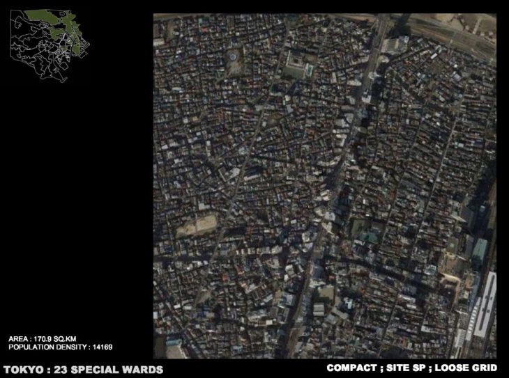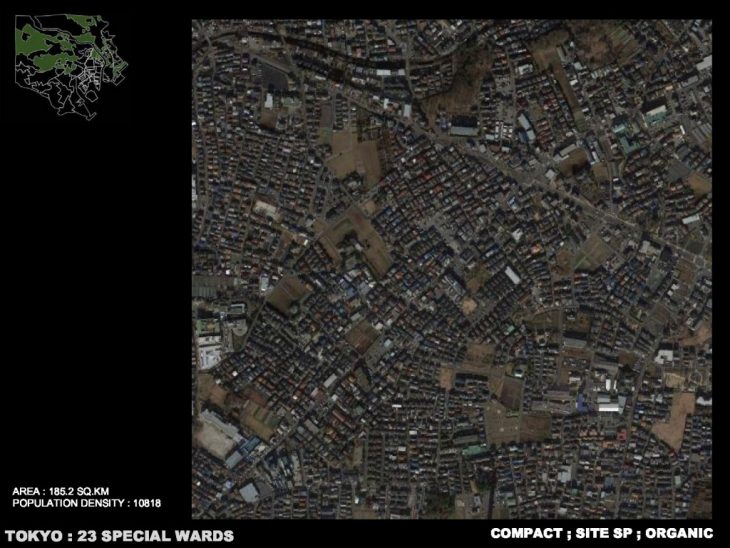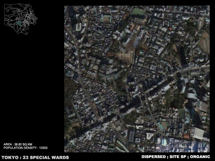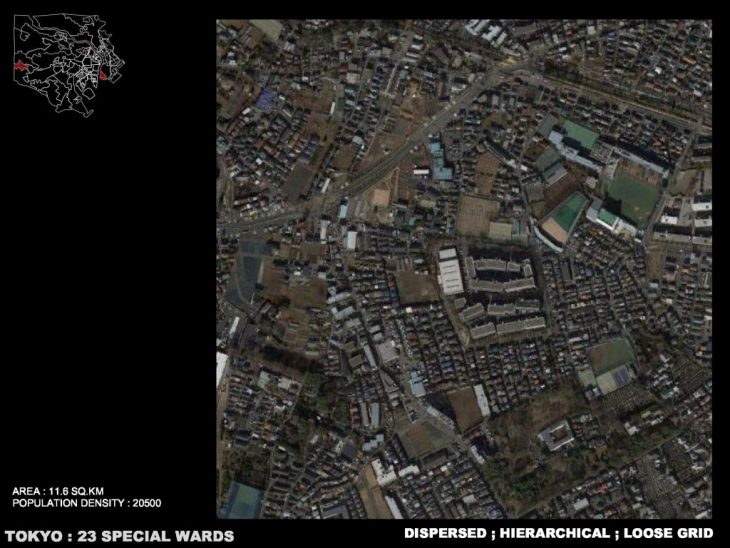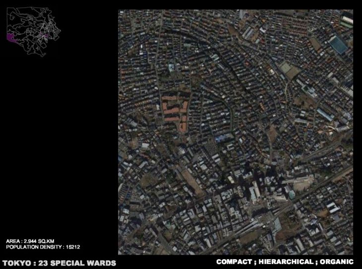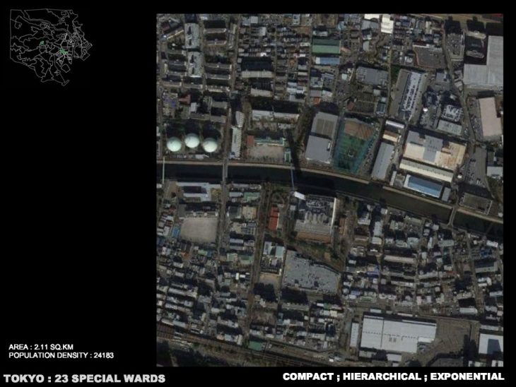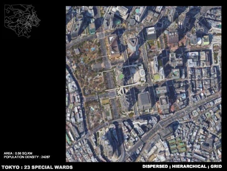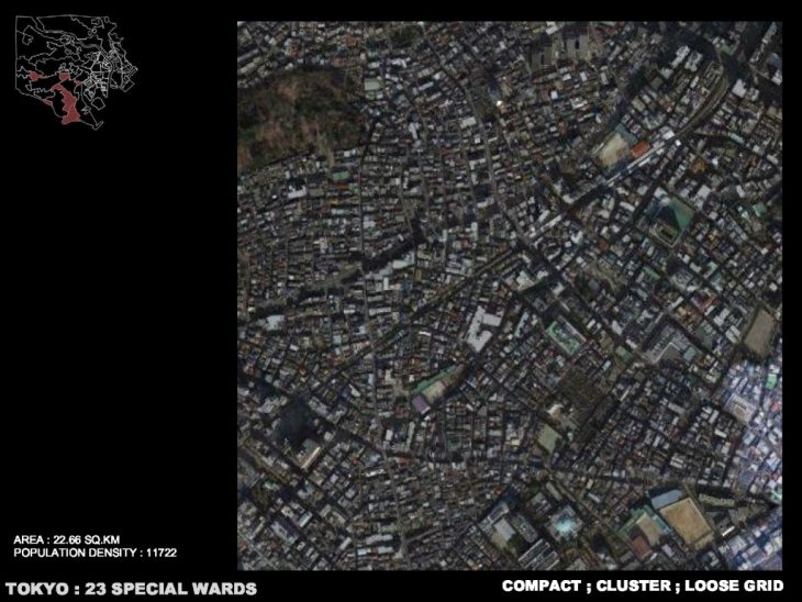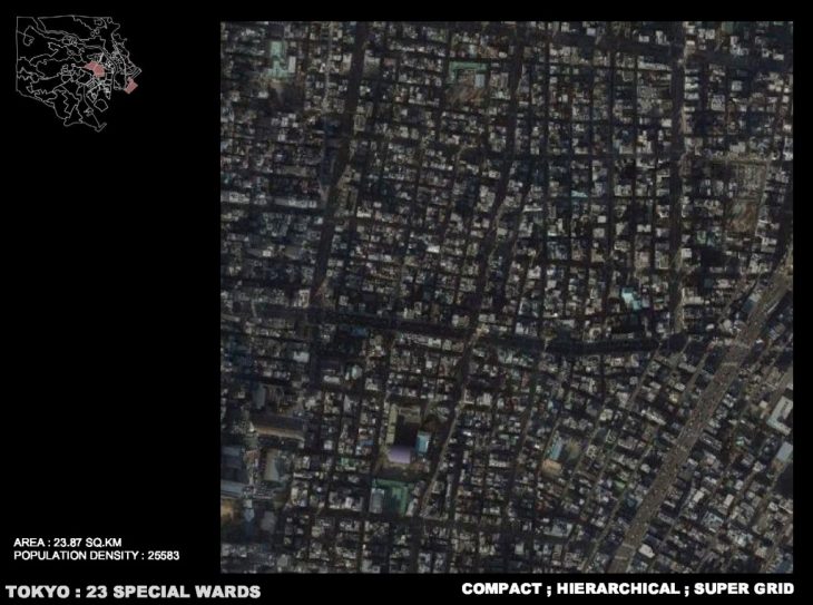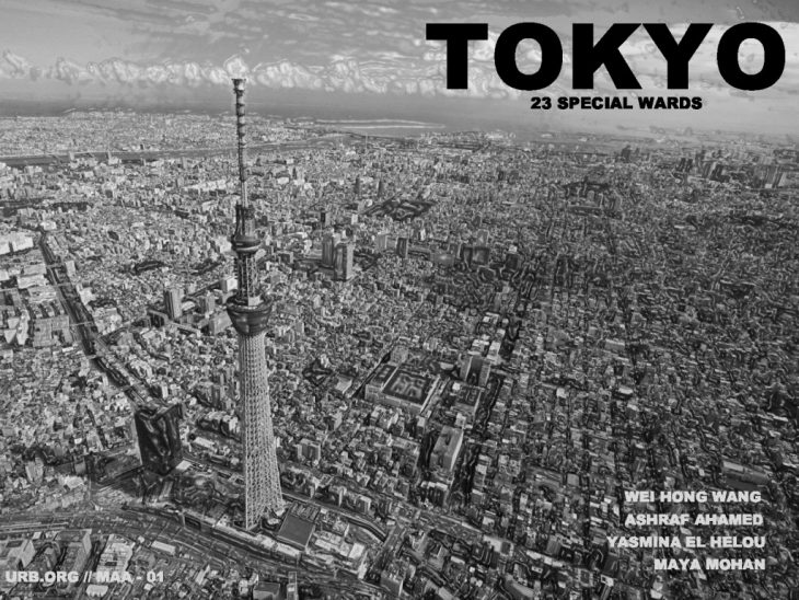
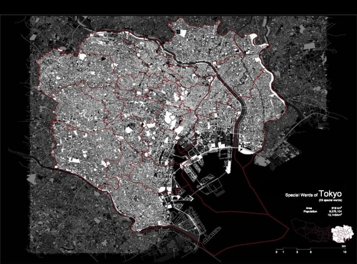
In the research of urban fabrics, our group focus on the centre part of Tokyo city, Special Wards of Toyko,
which consist of 23 municipalities, 9,375,104 as population and 619 sq km as area.
The modern development of Tokyo can be described briefly that it started with the recovery from the WW II, reach its peak during the Games of the XVIII Olympiad, 1964 and struggled the Japanese asset price bubble.

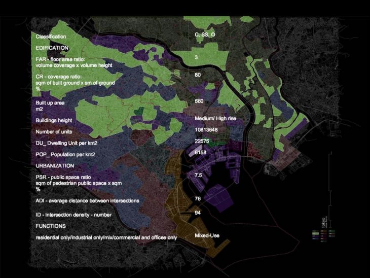
In the graphic which overlaying the provinces and all the fabrics we defined, we came to our first discovering that the fabrics are not fit the provinces. On the other hand, the fabrics correspond more to the landscape, especially rivers.
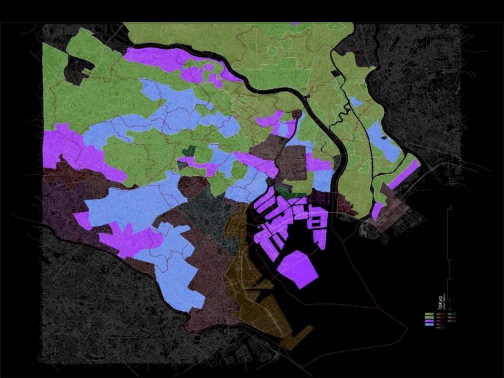
There are four types of fabrics can describe the majority of its urban layout, which are:
– Compact, Site-Specific, Loose Grid
– Compact, Site-Specific, organic
– Compact, Hierarchical, Grid
– Compact, Hierarchical, Loose Grid
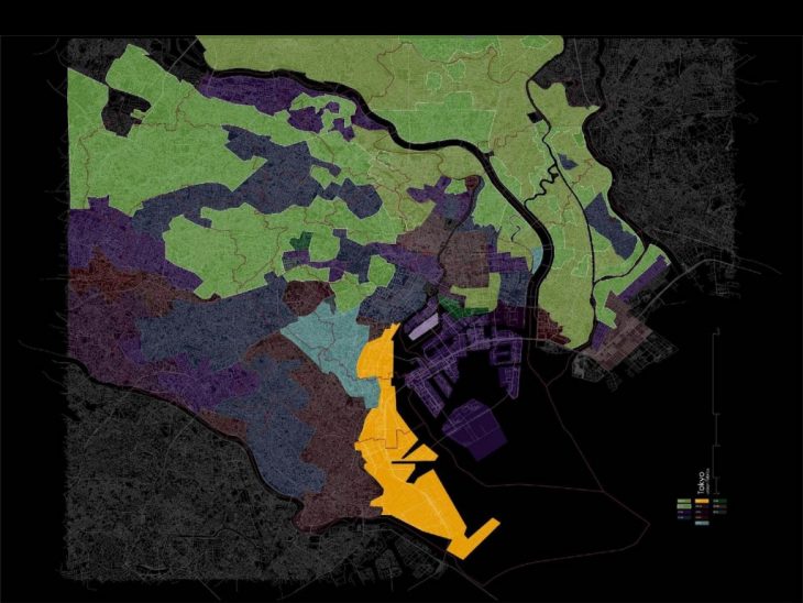
To illustrate how deep the fabrics are related to the rivers, we outline all the Site-Specific ones in the map.
With that, we see how the latest constructional technology helps in conquering the geographic barriers for such high population density as well. They are:
– Compact, Site-Specific, Loose Grid
– Compact, Site-Specific, organic
– Dispersed, Site-Specific, exponential
– Dispersed, Site-Specific, organic
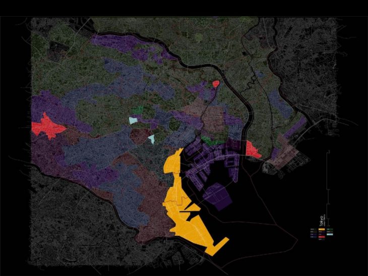
After the research on the history of these areas, one of the reasons is that where the reclaimed area close to the Toyko bay, there’s the latest master planning to have super-high rises, more spaces are left in between the buildings.
Secondary, the gathering of schools results in a dispersed fabric as well.
Besides that, 10km from the CBD, there’s a large-scale shrine being in the residential area and occupy a great amount of land.
Which is not a special case from this point outward throughout the Tokyo county.
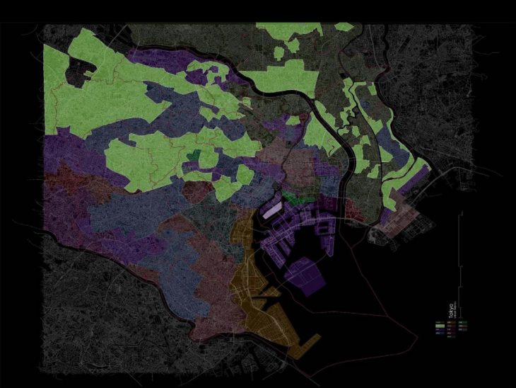
Followed by the maps in square km of each type of fabric to show the layouts found in Toyko.
