Mapping Proposals | Option 1
 The dilapidation of the street.
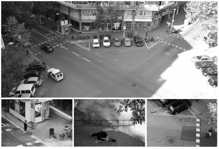
Particularly perceivable in the rain, a number of the streets of Barcelona are riddled with puddles, potholes, broken + miss matched pavers and other hidden dangers to fall into when walking at night. From district to district, one can easily see the standard of surface treatment change. Surrounding tourist zones and shopping precincts the quality is almost perfect, compared to the former industrial zone of Pouble Nou.
We propose to map the damage on a standard street, by counting the broken/ missing/ miss matched pavers as well as their size.
Extended thoguhout the city, this principle could map the socio-economic standard of the varying districts, the tourist levels, public visibly, or just the over level of “care” the local government has for each area, or the value they hold for the residents.
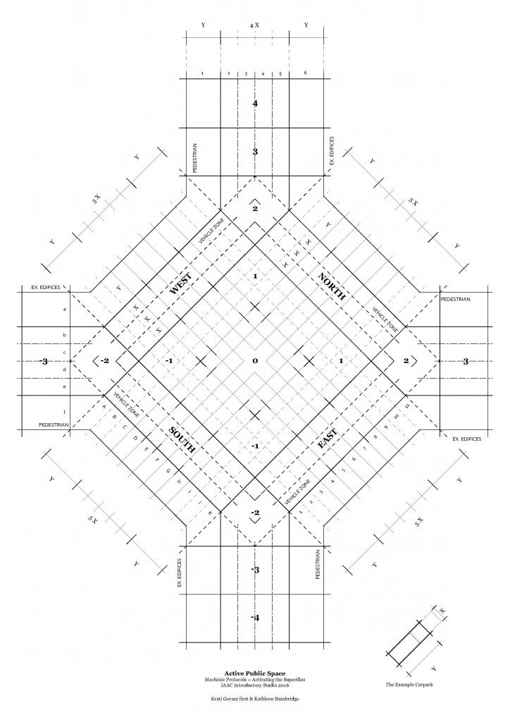
Again, using larger sample sizes, we would like to assess the distribution of dilapidation across the city. It would also be interesting to see if this damage is evenly distributed across all sizes of the Example, for if the ‘north’ face etc. is more effected?
Mapping Proposals | Option 2
Shopping trolleys.
Mapping number of people with shopping trolleys at various time of a day will be performed with respect to their age groups. This will be mapped thrice a day, morning , afternoon and evening for a span of 2 hours each. The visual data will be recorded in numbers.
For example x amount of people aged from a to b are found in morning.
These numbers can be translated in he drawing by allocating varied line weights to different age groups and time period.
This exercise will allow us to understand the use of space by each age groups and the time they spent for a particular work.
