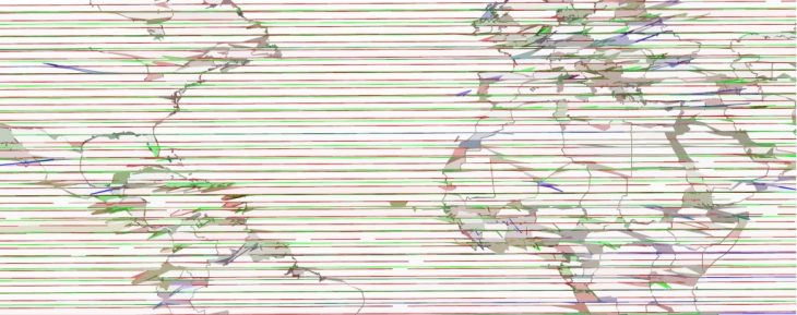
Mapping the World with Python
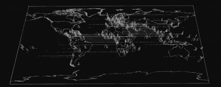
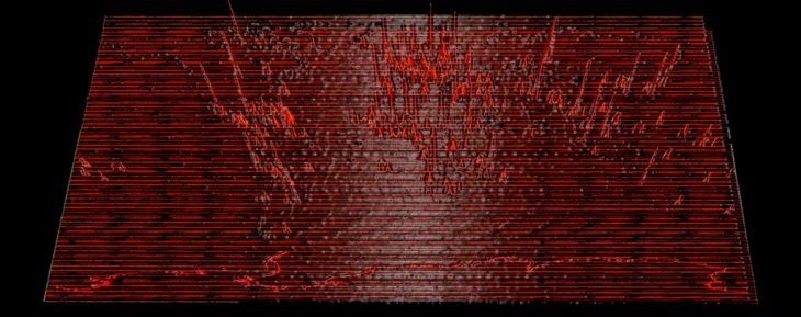
This exercise is an attempt to use Python as a design tool (combined with grasshopper and rhino) to generate an overlay of a world map, and informative layers about world population, water stress and fragmented watersheds in the world.
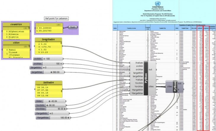
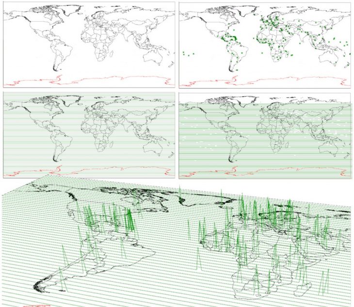
the exercise is divided into three steps: collecting the Database, the Python script to translate this data to points on the map and the grasshopper script to finalize the shape of the diagram.
1- Database:
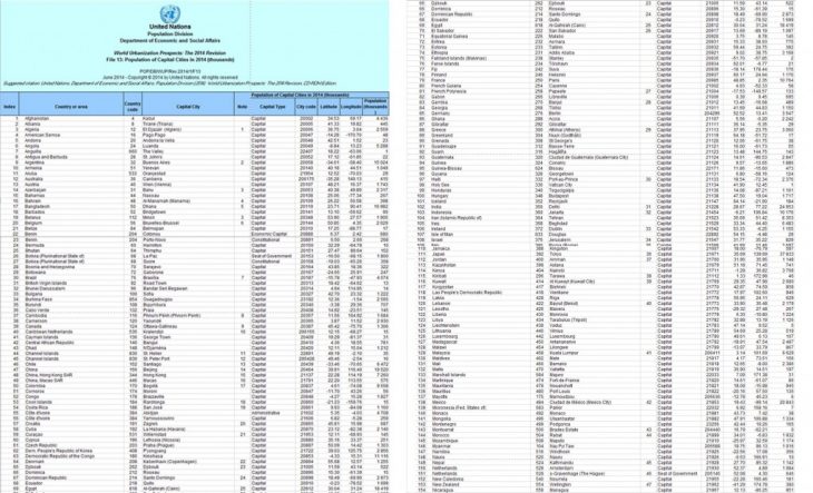
UN world population cities and capitals:

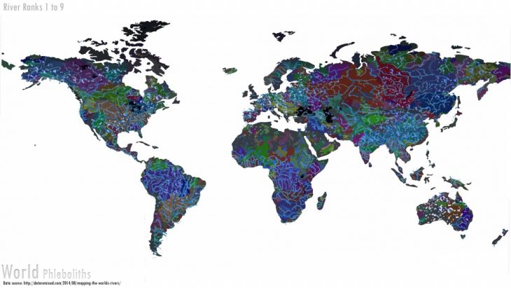
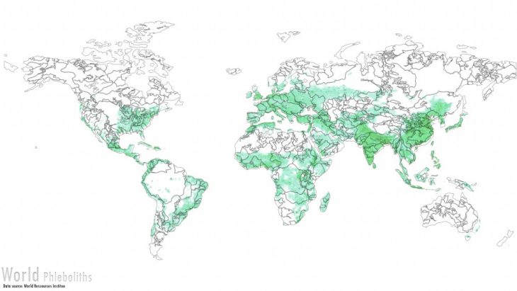
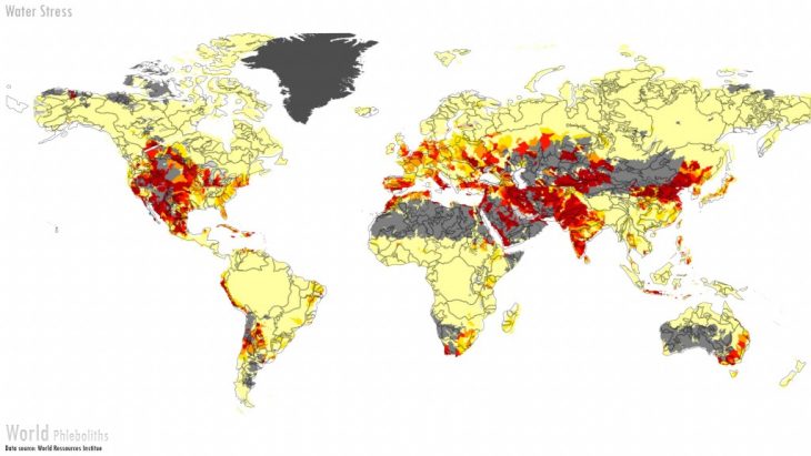
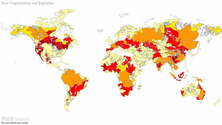
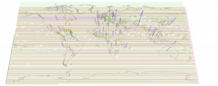
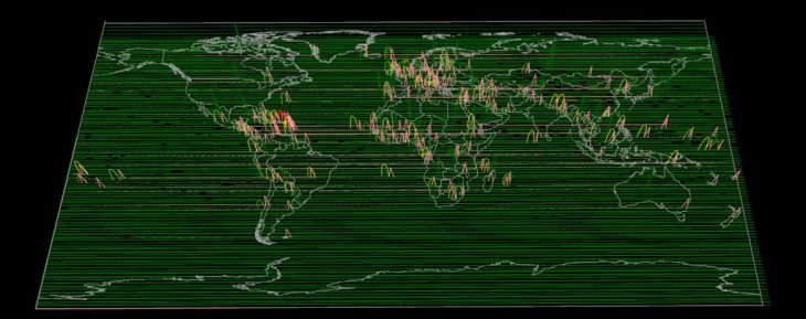
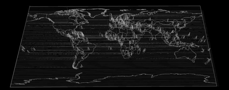
Maps developed for Thesis (World Phleboliths): watershed and river distribution, population distributions, water stress, river fragmentation
2- Python script: placing the cities on the map
To place the cities on the map, their longitude and latitude are remapped onto a rectangle of 180 x 360 (cylindrical projection) with one point of reference, in this case the city of Tyre in Lebanon for it’s central location on the map. if the reference point and the script’s point overlap, then the other cities are correctly placed.
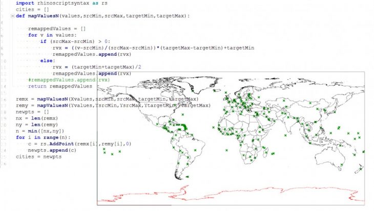
After having all the points placed on the map, the Z value of each point will be generated by the values on the maps of the database, either by following the color code, or the darkness of one color.
3- Grasshopper design
trace lines, find closest points from cities on these lines, trim the line, connect the two extremities by a conic shape, give the cone a height value of Z corresponding to the color of this point on the reference map.

4 – Final maps:
Francois NOUR, MAA02, DEC. 2018
Faculty: Angel Munoz
