SHIFTSCAPES
a project by:
Madhurya Bayyapuneedi
Mohor Bose
Nikoleta Mougkasi
Nusrat Tabassum
MASTER IN ADVANCED ARCHITECTURE
IS.1 G1 – INTRODUCTORY STUDIO: MACHINIC PROTOCOLS 2017 – 2018
FACULTY: EDOUARD CABAY, RODRIGO AGUIRRE, MEHMET BERK BOSTANCI
GUEST FACULTY: STUART MAGGS, HAMILL INDUSTRIES – ANA DIAZ AND PABLO BARQUIN
< Project Agenda >
Transport consumes 4% more energy every year, which represents a doubling of energy every twenty years.
1 Car exhausts emit a wide range of gases and solid matter, causing global warming, acid rain, and harming the environment and human health.
A carless city is the solution to shift away from this dystopic future. This means that all the road space is now open public space, that we can reimagine as new public infrastructure that serves the community.
< Drassanes >
Drassanes is nestled between the historic Monument of Colombus and the Maritime Museum to the North-East and the Montjuic Hill to the South-west. The Plaza de Drassanes is the busiest part of the site, with pedestrians, cars and buses galore. It is the nodal point for several transport systems, including the airport bus stop, the Montjuic to Barceloneta cable car stop, Transmediterranean transit point and the Drassanes Terminal. Therefore, there are large numbers of tourists moving through the area.
Beyond the plaza, through the centre of the site, lies the Jardins de Walter Benjamin, followed by the Jardins de les Hortes de Sant Bertran and then Mirador Park. This creates a green channel through the centre of the plot, also dividing the residential part of the site from the more institutional port side. Each park has a different characteristic and caters to a different demographic. Walter Benjamin has a vibrant graffiti culture, Sant Bertran has playgrounds and dedicated spaces for dogs, Mirador is unique in that it is a stepped park with ample shading of trees and gazebos, an ideal spot to unwind.
Restaurants, cafes and bars are the primary commercial/social spaces on the site today and these are all concentrated towards the residential part on the North-east corner and a few atop Montjuic. At present, a major highway goes through the site, effectively dividing the site into two parts, making the port inaccessible to the larger part of the site despite being adjacent to the seafront.
< Site Statistics >
· 132,000 sqm of open public spaces
· 70,000 sqm road area
· With cars removed from the equation that means approximately 202,000 sqm of public spaces on a 230,400 sqm site, roughly 87% of the site area
If we look at the site today, despite having 64% of the site area dedicated to open public spaces, most of the parks and public infrastructure is unused for large parts of the day. This indicates lack of functionality and appeal for these spaces. Therefore, it is not enough to just add to the public space but one has to give purpose to these spaces. They need to enhance the lifestyle of the community.
< Research >
The infrastructure developed should aim to create self-sustaining communities. Two major concerns with modern urban society are the gap between food production and consumption and the alarming growth of e-waste generated due to the low life-spans of our gadgets. These can be addressed on site by adding aquaponics farms and e-waste recycling facilities. The large swathes of land available means we can explore these on a fairly large scale. The site itself has a comparatively low count of residents, approximately 1800. This means there would be surplus produce at these facilities, creating an opportunity to trade the excess. Going by the hypothesis that other communities will also be reutilising their public spaces for community development, also producing commodities on site, we can envision a future where these communities could trade between each other, heading towards a cashless future, an economy of exchange of goods and ideas.
Aquaponics, a system that incorporates aquaculture and hydroponics, produces up to 40% more food than any other form of agriculture on 90% less land with up to 98% less water. A sqm of aquaponics system produces up to a metric ton of whole fish a year, which potentially produces an income of 165 euros a year/sqm. Therefore, aquaponics systems could provide both food for the community as well as jobs and incomes.
Electronic devices produce 50 million tons of waste annually and the electronic device waste system increases more than 5% each year. If we go on producing e-waste as we are today, this means that in 20 years, we are looking at an annual waste of 132.6 million tons. Recycling 274 laptops alone saves the energy equivalent to the electricity used in a home in a year.
With the growing rate at which technology advances, the gadgets also get updated and outdated in shorter lapses in time. These gadgets need to be responsibly recycled and possibly reused in part or whole to minimize negative environmental impacts. An e-waste recycling facility on the site gives the residents easy access to recycling facilities and the opportunity to acquire new gadgets at better exchange rates.
< Data Mapping >
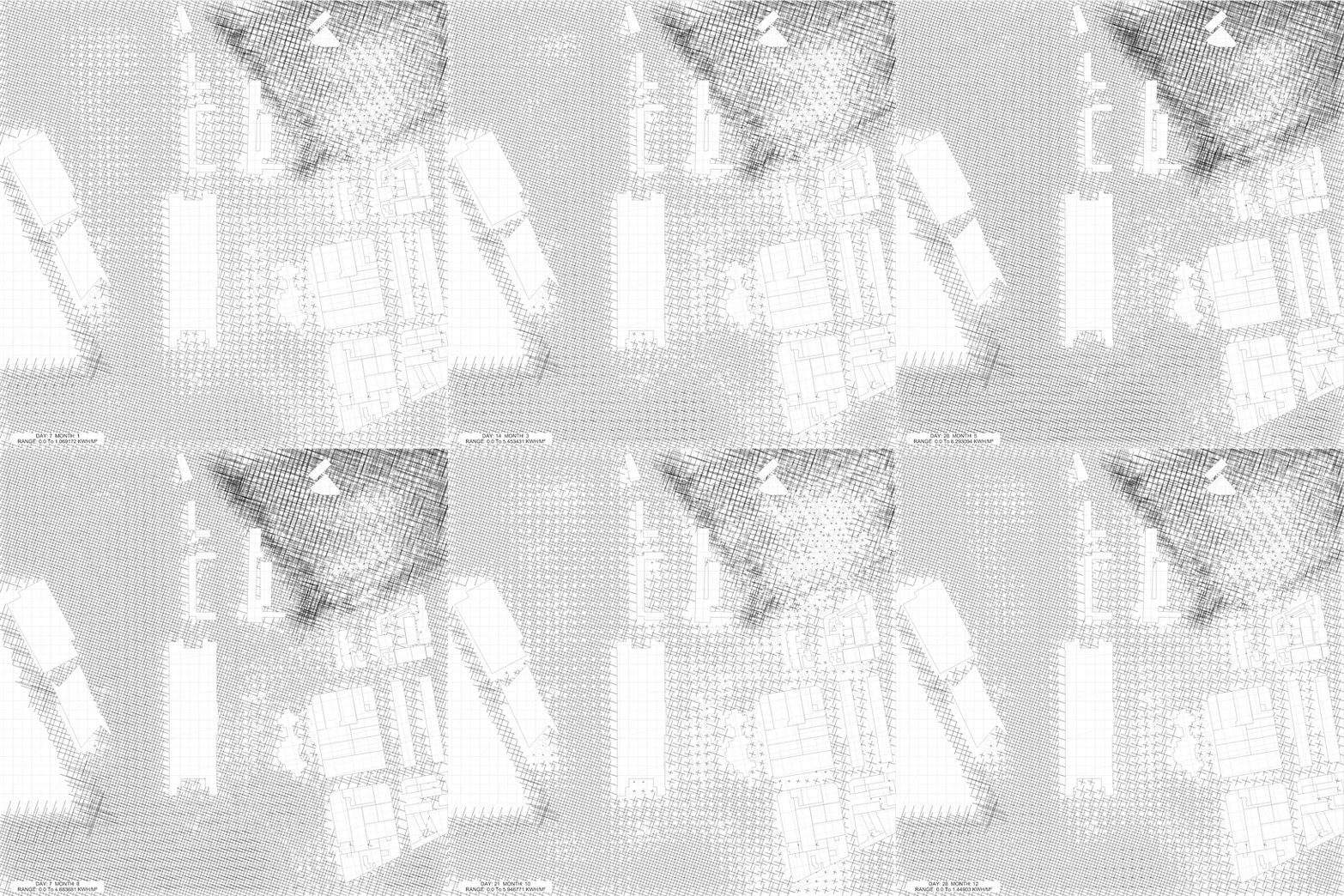
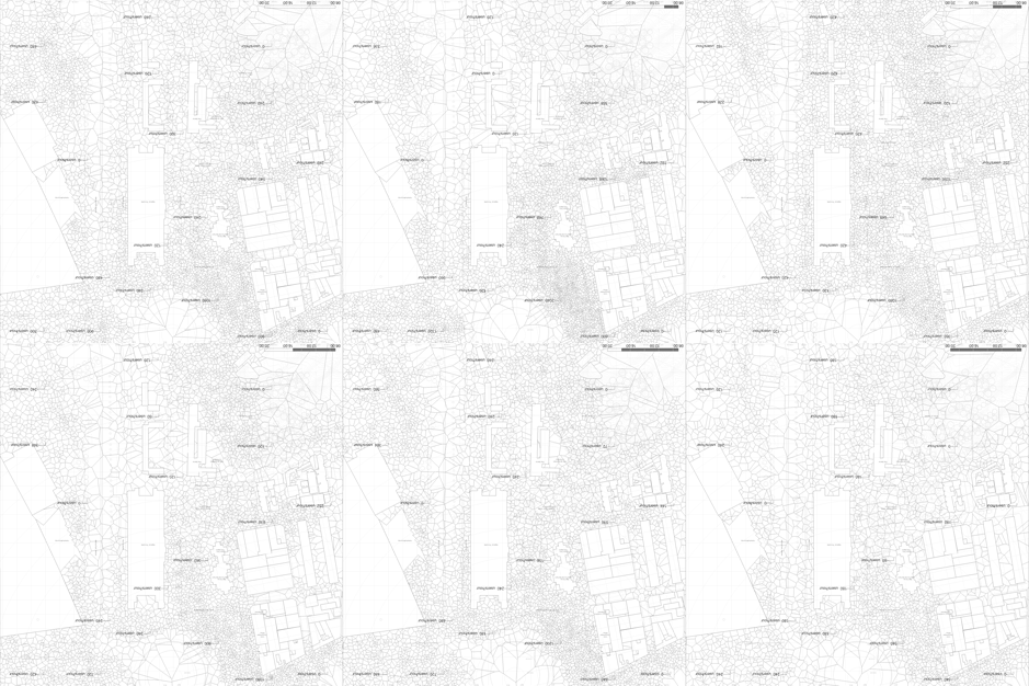
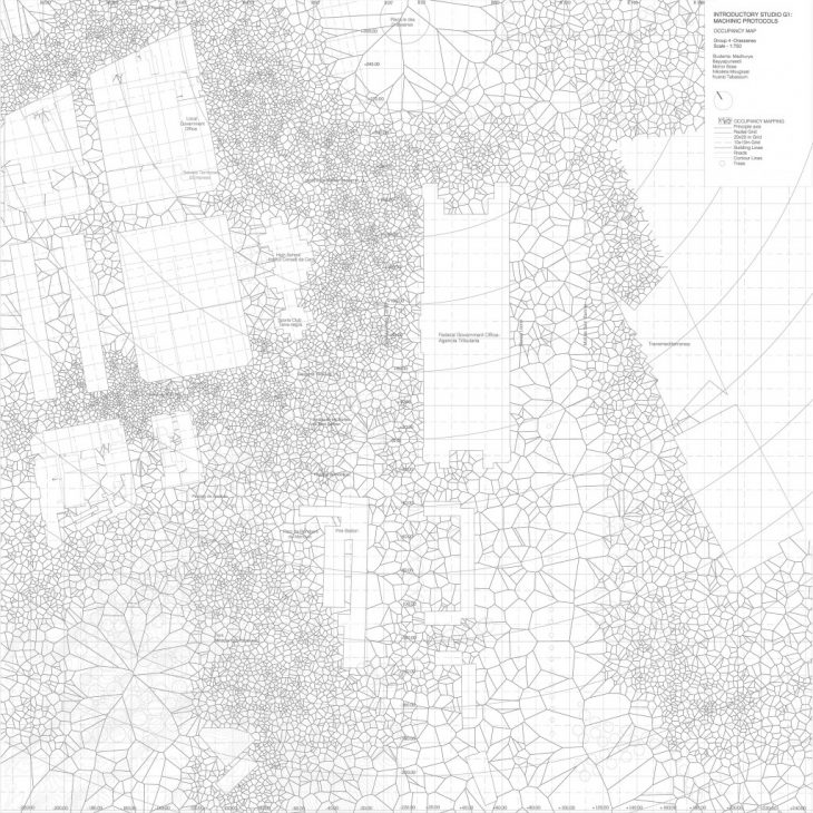
Image1: Yearly Radiation Analysis Simulation Image2: Daily Occupancy of Public Spaces
One of the main characteristics of our site is the fact that the vast majority of the current public spaces are not used by the community. Despite their different characteristics and positions on the site, users do not seem to be attracted to them. With this fact as a starting point, space occupancy was mapped, in order to understand how users activate the public space and therefore position, later on, the different types of markets. The plaza de Drassanes, as mentioned before, is the most active space of the site, due to the airport bus stop and the connection to the port. Local densities are also found in specific spots in the residential area where small cafes and restaurants bring life to the urban space. The current public spaces seem to be less occupied than someone would think, no matter if they are the designed ones that are along the port side, or the community parks and playgrounds. As a conclusion, it is obvious that the problematic of these spaces is not the quantity but the quality. In order for them to be activated, we need to assign functionalities and different kind of interactions. In the future, occupancy data will be available 24/7 through the Internet of Things, as we already have the location function on our smart devices. Therefore, this data map could work as the live data that feeds the proposal and changes the public space throughout the course of the 20 years timeframe.
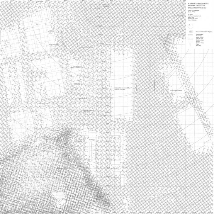
Next step to understand the site was a simulation of the radiation analysis throughout the year. Sun plays an important role when designing public spaces, as it is highly connected to human comfort. When it comes to exchange platforms, different kinds of relationships with the sun are intended. When a space is dedicated to exchange of goods and produce, shade and protection is needed, while when a space in indicated as a cultural or sports exchange platform the sun can provide the comfort and quality of the space needed by the users. On the simulation map, we can see the high levels of sun exposure along side the port area and therefore, the current highway. On the contrary the deeper we go into the residential part, the lower the radiation levels throughout the year.
< Shiftscapes >
It is not enough that the site has 87% open public spaces. These places must be designed for optimum functional and aesthetic outcomes. They must also serve a higher socio-economic purpose. Imagine the public spaces as the centers of production; food, goods, ideas and imagine a network of exchange – intra-city and inter-city. Imagine an economy of exchange where one locally produced item or idea is exchanged for another in a system that slowly but surely eliminates cash and money from the vocabulary of the future.
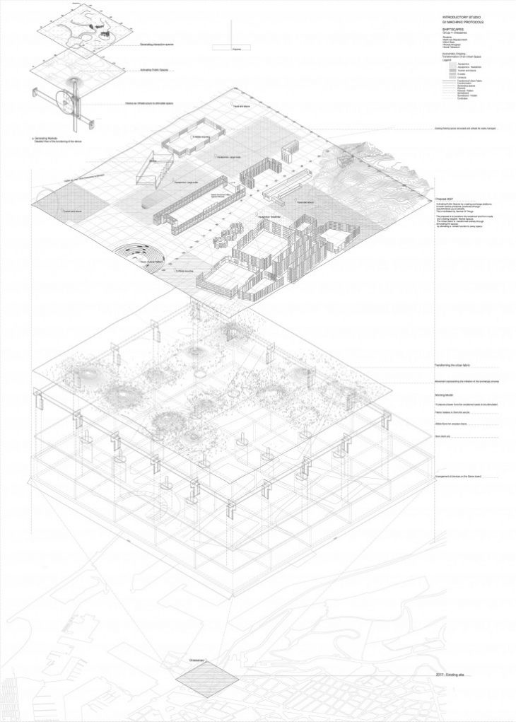
In order to establish this economy of exchange on our site in Drassanes, 20 zones on-site have been identified where some public infrastructure could be added which enhance the nature of the space or benefit the community. The function assigned to each zone depends on these parameters:
· existing land-use and infrastructure
· occupancy predictions (based on data from occupancy data mapping analysis)
· thermal comfort (based on data from radiation data mapping analysis)
The functions or ‘centers of production’ are:
· Aquaponics farms
· E-waste recycling centers
· Tourism and leisure areas (bars, cafes, restaurants, galleries, etc)
· Socio-cultural spaces (open air theatres, parks, pavilions, etc)
The locations of these functions or ‘centers of production’ are:
· Aquaponics farms & E-waste recycling centers – first prototypes in the residential zone to directly serve the community. Future expansion: towards the port-side to enhance inter-community exchange on a large scale of surplus goods
· Tourism and leisure areas at existing points of tourist interest: along the coast adjacent to the Columbus Monument and at the Montjuic base
· Socio-cultural spaces along the existing green belt of parks that runs through the middle of the site
· All activities converge at the Plaza de Drassanes allowing functions and activities to flow through one another and encouraging exchanges between them
· Over time a shift in activities is predicted towards the coast as the removal of cars makes this the largest available open public space and the seafront access adds to its appeal
< The Representation> film and model
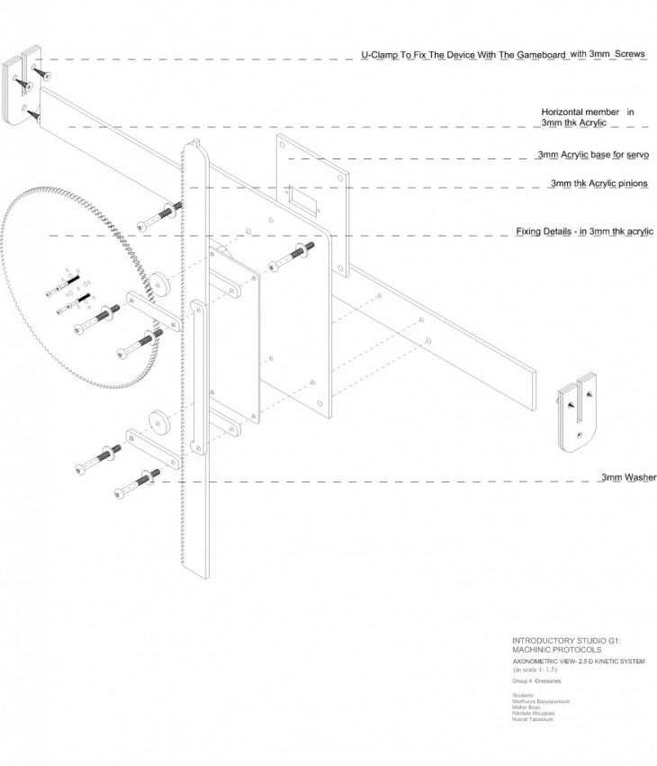
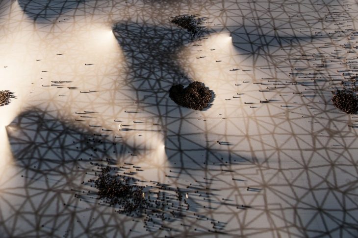
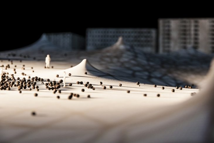
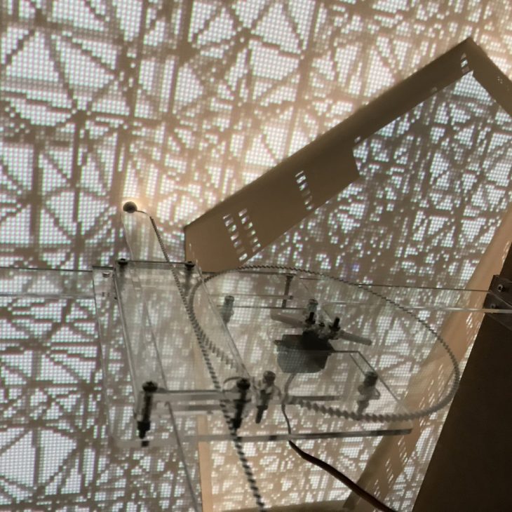
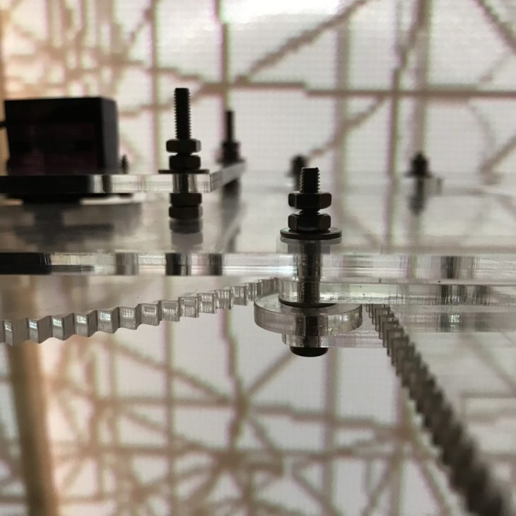
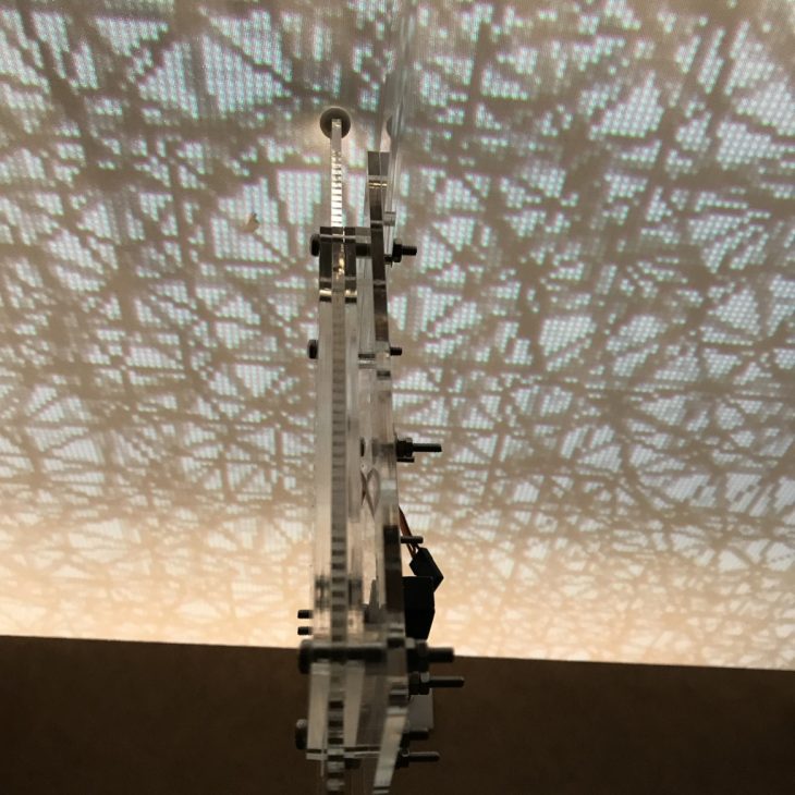
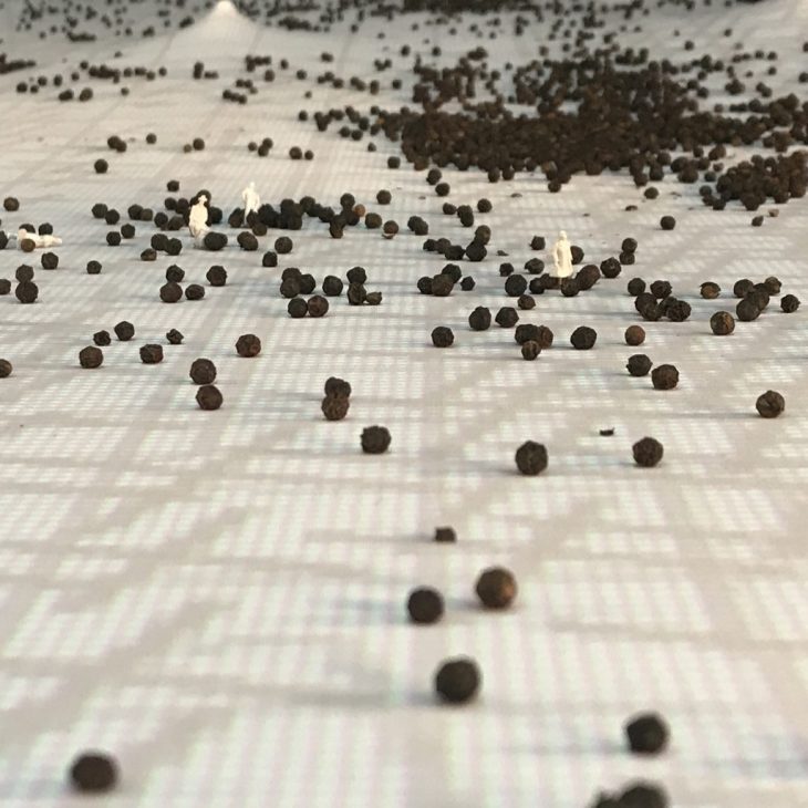
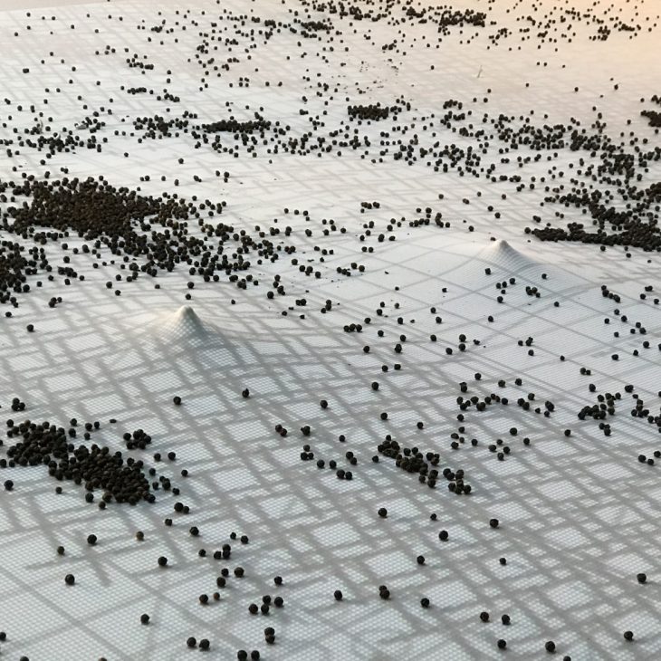
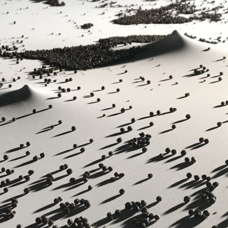
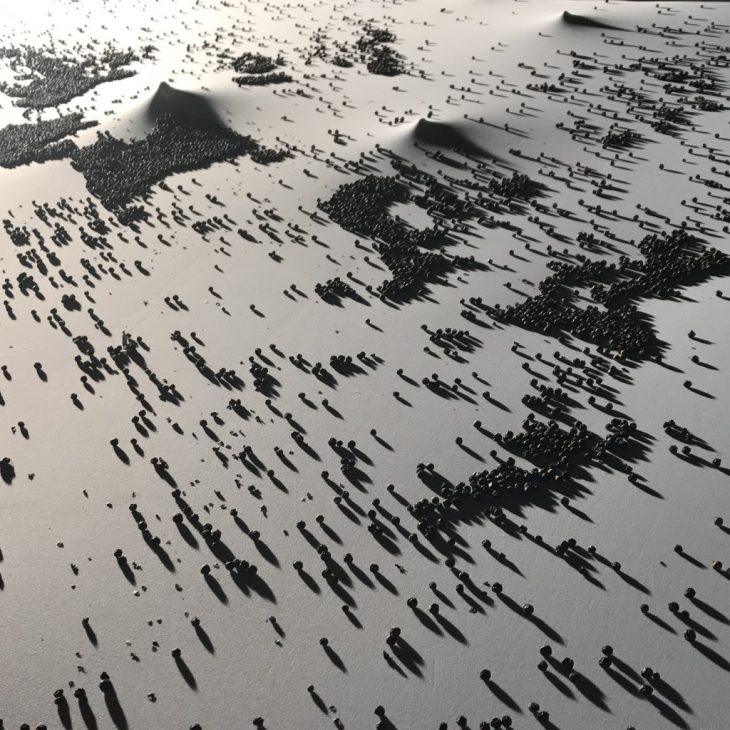
To illustrate the idea of this economy of exchange, we have represented the socio-economic fabric of the future city quite literally with fabric itself. The rise in the fabric indicates an activity on one of the infrastructure zones (aquaponics, e-waste recycling, tourism and leisure or socio-cultural spaces) resulting in a production of goods and ideas. The balls moving around the board represent these goods and ideas themselves. The stray particles are being consumed on site while the large pools are the ephemeral pop-up markets and exchange platforms where the economy of exchange is in process.
photographs by Relja Ferusic
