| BRIEF |
The objective of this studio was to explore the computational and biotic intelligence to create new ecologies within the existing urban fabric.
| PROCESS |
The satellite image of Barcelona city was divided into nine blocks, we were given Block C which is located on the top right corner.
The given urban 3×3 km plot consists of 66% Biotic spaces, 22% habitable spaces and 12% of the commutable spaces.
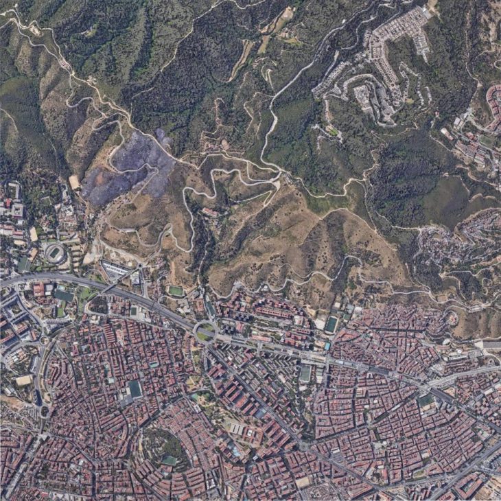
//Given 3×3 Km plot
The process started with extracting different colors out of the given plot to get various layers.
Using gradient field diagrams, we extracted the contours and tendency lines to study the water flow.
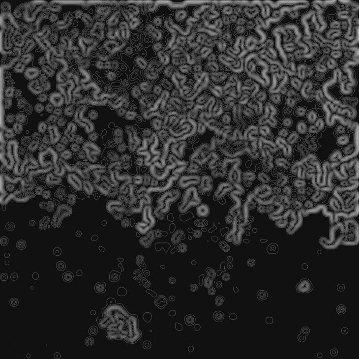
//Contours
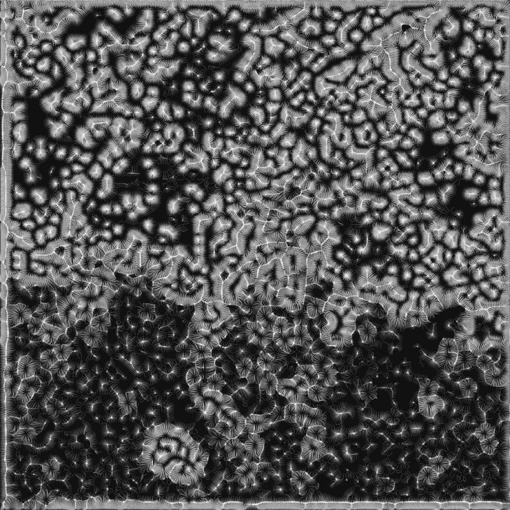
//Tendency Lines
The same process was repeated to get the density of habitable spaces.
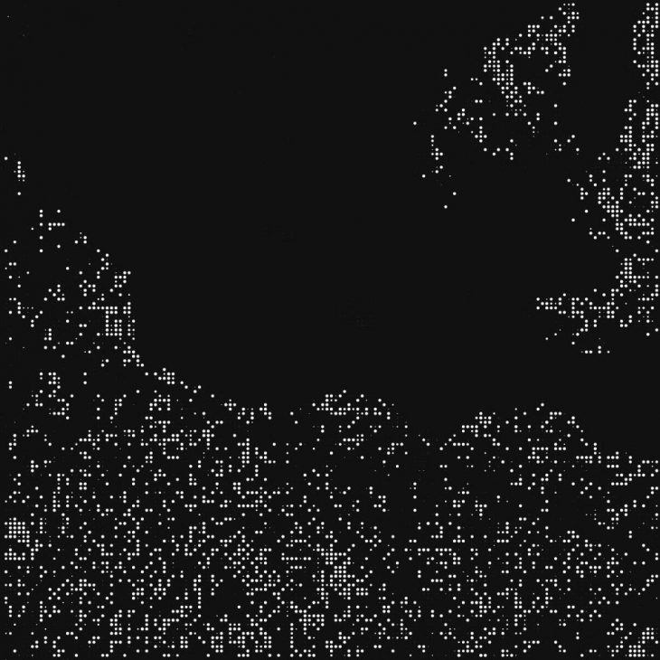
//Extracted Density of Habitable spaces
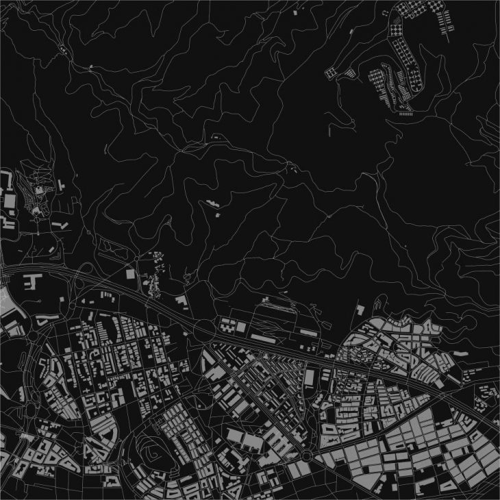
//Mapped Buildings and Road network
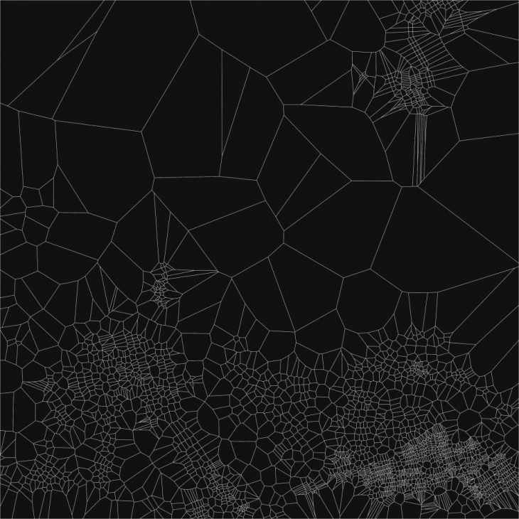
//Voronoi of the Existing Buildings
| REVERSE INTERVENTION |
The aim was to replicate the road network with a green network, which connects the highest carbon emission points in the given plot. Started with taking all the points that represent the density and applying multiple dispatches based on the diameter on the points in order to pull out the biggest circles the represent the highest carbon emissions. Linking these points with the logic to create the shortest walk.
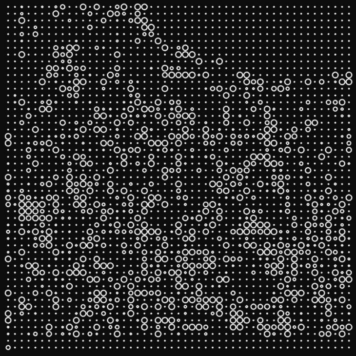
//Density
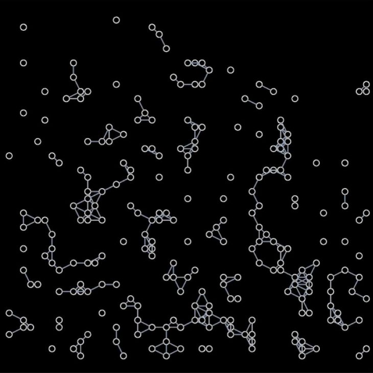
//After applying multiple dispatches
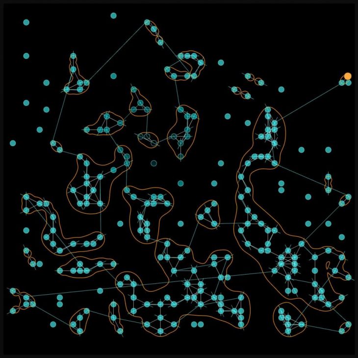
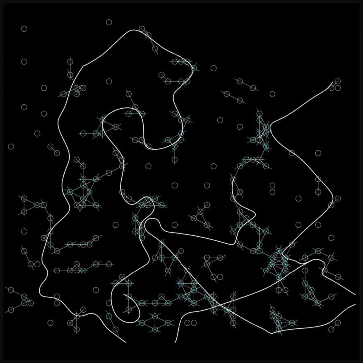
//Connecting the points using logic
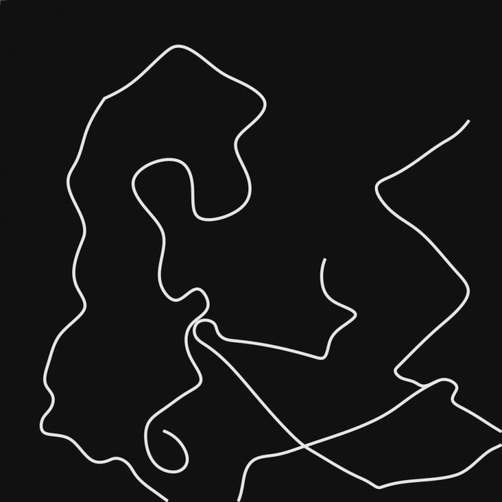
//Final Shortest walk created
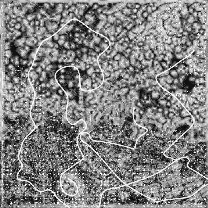
//Overlay of all layers including Reverse Intervention
| SHIFTED PATH |
The objective was to create a shifted and shortest path between the buildings and the biotic spaces.
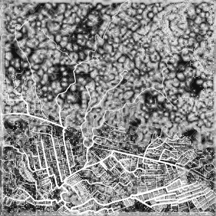
//Overlay of all layers including the Shifted Path
| RENDERS |
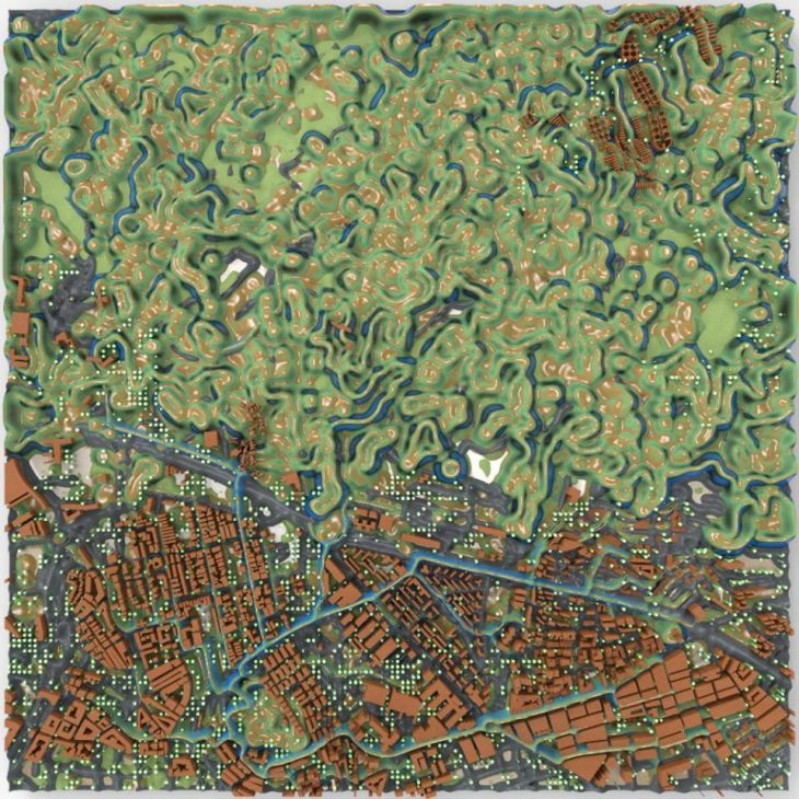
//Render 1
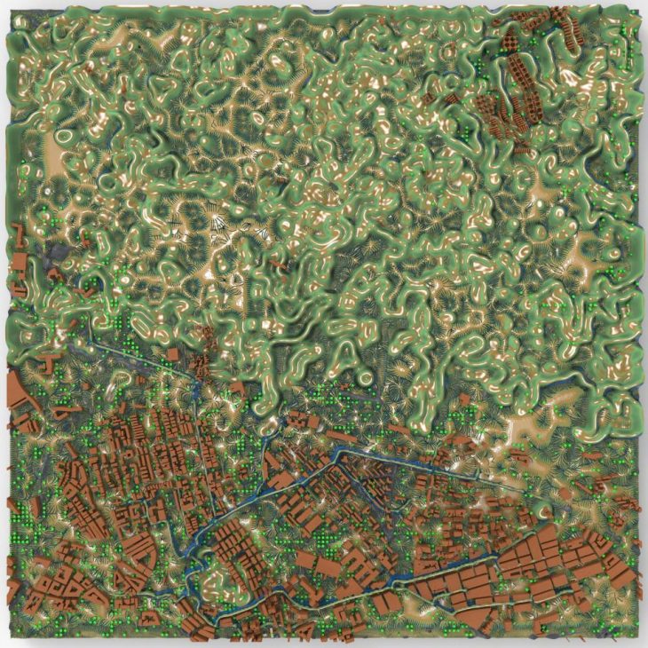
//Render 2
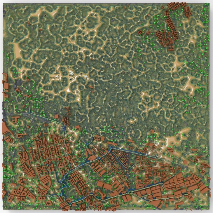
//Render 3
WET.WARE BCN is a project of IaaC, Institute for Advanced Architecture of Catalonia developed at Master in Advanced Architecture, in 2018/2019 by:
Students: Alaa Aldin Al Baroudi, Sri Sai Tarun Kovuru
Faculty: Claudia Pasquero, Marco Poletto
Computational Expert: Konstantinos Alexopoulos